Key to Reference Numbers:
- LEVEL 1.
 Brief information in an easy-to-read, structured format. May use informal language.
 - LEVEL 2.
 Longer articles, broader topic coverage. Includes some subject-specific language.
 - LEVEL 3.
 Detailed information, using subject-specific language. (Includes analytical articles)
Acknowledgement
St Stephen's School acknowledges the contribution of
Mrs Dee Cunninghame,
the original creator of this guide.
Introduction
The Dutch East India Company (often called the VOC, the initials of its name in Dutch) was set up in 1602 to help Dutch traders and explorers work together to find and supply spices from across the world. Seeking riches in the South Land (as Australia was called), the VOC sponsored explorations increased the knowledge of the location, size and shape of Australia, as is evident in Dutch maps drawn and engraved during the 17th century. By 1628, about 4,000km of Australia’s western, southern and northern coastlines had been surveyed and delineated on charts which were issued to VOC skippers.
Putting Australia on the Map
Martin Woods, Curator of Maps at the National Library of Australia, discusses early depictions of 'the great south land', from ancient Greek interpretations of the Antipodes to maps of New Holland by the Dutch in the 1600s and 1700s with the various names used including Terra Australis, Jave Le Grande and Magallanica.
SOURCE: National Library of Australia. (2013, November 3). Putting Australia on the map [Video File]. Retrieved from https://www.youtube.com/embed/yw0xq7vT_z4
Books from the catalogue
 Austraia's Shipwrecks and sea mysteries by Call Number: 910.45 BARISBN: 9781740703871Publication Date: 2008
 Exploring Shipwrecks by
The featured shipwrecks are ones that divers and snorkelers can explore and each has an intriguing story to tell. Like the ship that vanished and became a ghost ship, or the ship that sank upside down, and even the ship that was sunk by a volcano.
Call Number: 910.452 MARISBN: 9781921580178Publication Date: 2016
Exploring Shipwrecks by
The featured shipwrecks are ones that divers and snorkelers can explore and each has an intriguing story to tell. Like the ship that vanished and became a ghost ship, or the ship that sank upside down, and even the ship that was sunk by a volcano.
Call Number: 910.452 MARISBN: 9781921580178Publication Date: 2016 Ship by ISBN: 9781405305891Publication Date: 2004Has information on the Mary Rose.
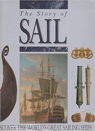 The story of sail by Call Number: 387.2MARISBN: 9781863022392Publication Date: 1992Includes information on Batavia, Cutty Shark, Mary Rose.


WASLA Teacher Librarian of the Year- 2017: Jo-Anne Urquhart
- 2016: Lise Legg
WASLA Library Officer of the Year- 2012: Karen Notley